Tips and resources
Capital City Trail – 29km (loop)
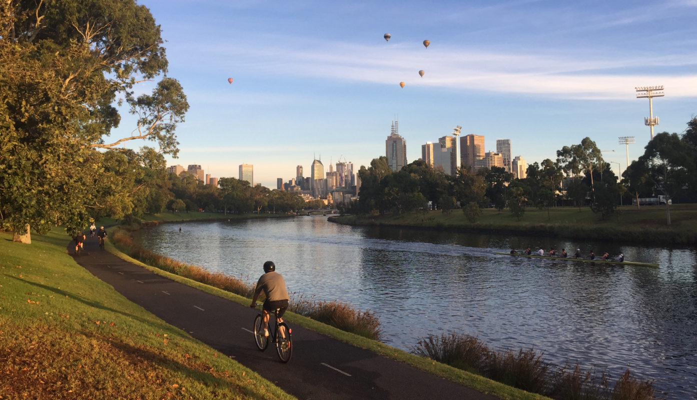
Melbourne’s Capital City Trail circumnavigates the city along shared trails through the city’s inner leafy suburbs. It’s perfect for the whole family or new riders who can ride the whole loop (29km) or just a section of the trail, depending how far you want to go.
Route details
- Distance – 29km | Elevation – 340m
- Parking – Richmond Boulie Car Park (off the Monash Freeway, Yarra Boulevard exit)
- Highlights – Dights Falls, Collingwood Childrens Farm and Princes Park.
Terrain
The trail is generally flat and meanders along shared trails, with a couple of climbs on the North east and North west sections of the ride. There is one section of the trail at Gipps Street, Abbotsford where bikes will need to be carried down a set of stairs.
Top stops
- The Farm Café, Abbotsford
- Park St Café, Carlton North
- Kanteen, South Yarra (Stay on the south side of the Yarra River)
Bay Trail - Brighton to Port Melbourne – 26km (return)
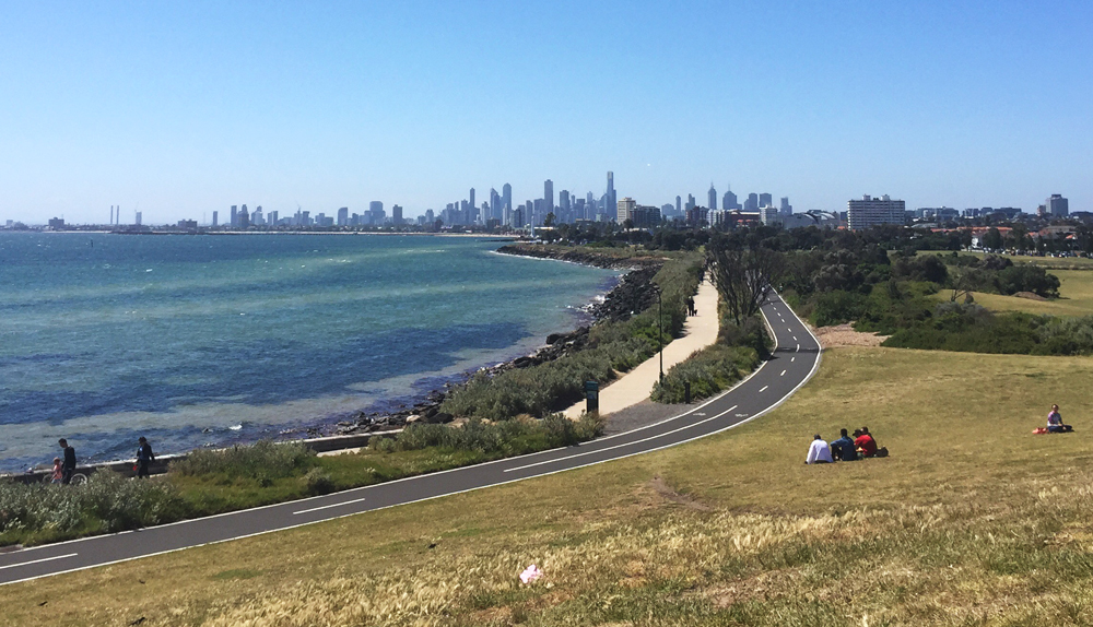
The Bay trail is a popular and picturesque shared path for cyclists and pedestrians following the coastline of Port Phillip Bay. The Brighton to Port Melbourne route is one popular family-friendly option, but riders can join the Bay Trail at any stage to pedal a distance of your choice.
Route details
- Distance – 26km | Elevation – 219m
- Parking – Brighton Life Saving club
- Highlights – North Road Foreshore Playground, Point Ormond look out, St Kilda Beach, Catani Gardens, Solar System Trail, Princes Pier.
Terrain
The ride is mostly flat and follows shared trails, with some sections of dedicated bike trails. The trail can get particularly busy in the summer months with pedestrians heading to the beach.
Top stops
- North Point Café, Brighton
- Point Ormond Cafe, Elwood
- Caffe Di Lido, Port Melbourne
Eastlink & Dandenong Creek Tail – 16km (loop)
This shared path loop takes in some highlights of Melbourne’s eastern suburbs along the EastLink and Dandenong Creek trails – with the start and finish in the popular Jells Park. Keen riders can pedal further north along the EastLink Trail through the Mullum Mullum valley to add on extra distance and hills before turning back towards Jells Park.
Route details
- Distance – 16km | Elevation – 154m
- Parking – Jells Park, Wheelers Hill
- Highlights – Jells Park, Koomba Park, Bushy Park Wetlands
Terrain
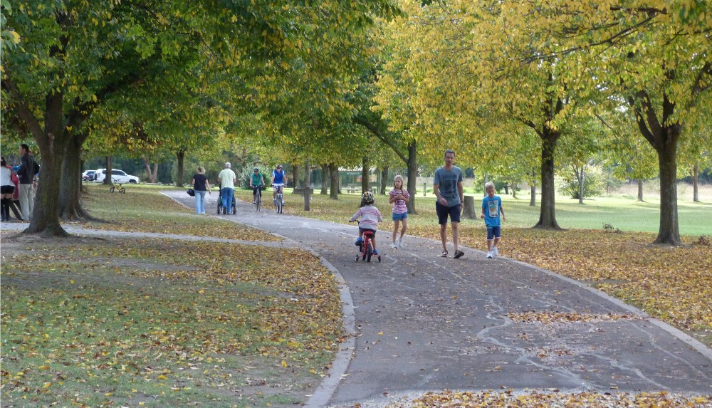
The off-road loop follows sections of the Eastlink trail and Dandenong Creek trail and is shared with pedestrians. Be mindful of the pedestrian crossing across Burwood Highway at the 9.5km mark. The surface is predominantly sealed and smooth but does turn to a compact gravel once returning south along the Dandenong Creek Trail.
Top stops
- Madeline’s at Jells, Jells Park
- Chesterfield Farm (just off Eastlink Trail)
- javaScript Cafe, Vermont South
Maribyrnong River Trail – 21km (one way)
The Maribyrnong River Trail follows the twists and turns carved out by the mighty Maribyrnong, starting in Brimbank Park and winding through Melbourne’s north-western suburbs all the way to the Docklands. The below route map is one-way from Brimbank Park but riders can join the path at any time along the river to pedal a distance you’re comfortable with.
Route details
- Distance – 21km | Elevation – 164m
- Parking – Brimbank Park Visitors Centre
- Highlights – Brimbank Park natural reserve, views of the Melbourne skyline and the famous Flemington Racetrack.
Terrain
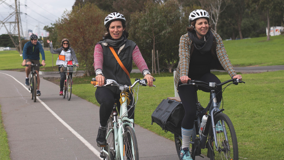
The route is mostly flat, with one fast downhill slope exiting Brimbank Park and a short but sharp ascent/descent at Steele Creek Park. The surface is a mixture of well-maintained gravel (for the first 12km) and paved paths hugging the river bank, with some stretches alongside quiet suburban streets.
Top stops
- Pipemakers Park, Maribyrnong
- Lily Street lookout, Essendon West
- Jolly JJ’s Pirate Cafe and playground, Aberfeldie
Foreshore Trail, Williamstown to Altona Beach – 16km (return)
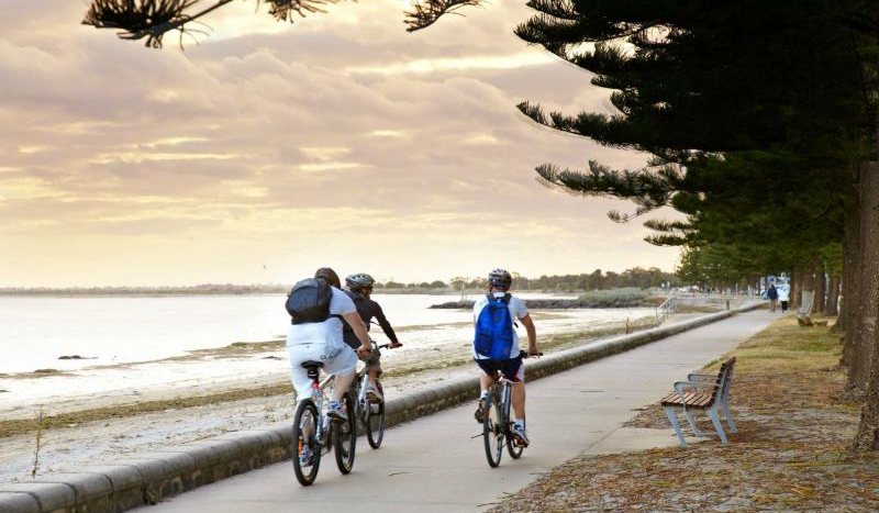
Heading the opposite direction from the typical Melbourne bayside route, this 16km stretch of the Hobson’s Bay Coastal Trail takes you west from Williamstown beach, through secluded wetland sanctuaries, across quaint wooden bridges and around Altona Coastal Park before meeting up with the Altona Esplanade heading for Altona Beach.
Route details
- Distance – 16km | Elevation – 80m
- Parking – Gloucester Reserve, Williamstown Beach
- Highlights – Jawbone Marine Sanctuary, P A Burns Reserve, Altona Pier
Terrain
The trail runs along a well-maintained concrete shared path with occasional wooden bridge crossings and is almost entirely flat, with just one short gentle incline. The trail is quite remote, running through parklands until meeting up with the Esplanade in Altona.
Top stops
- P A Burns Reserve (dog-friendly beach)
- Altona boat ramp
- Norfolk Cafe, Altona Beach
Gardiners Creek Trail – 17km (one way)
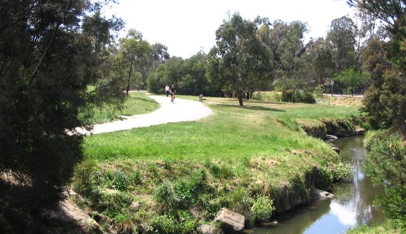
Gardiners Creek Trail is a 17km shared pathway that follows the Gardiners Creek through Melbourne’s leafy eastern suburbs, linking the Main Yarra Trail in Burnley to Canterbury Road in Box Hill.
Route details
- Distance – 17km | Elevation – 162m
- Parking available at the numerous reserves and local sports fields on route.
- Highlights – Gardiners, Ashwood, Holmesglen and Markham Reserves as well as the Glen Iris wetlands.
Terrain
The trail is generally flat with a few gentle inclines, following a shared path that is for the most part paved and well-maintained, with very few road crossings. The path is almost entirely located within parklands or through natural reserves as it follows the creek. It can get busy on the weekend with walkers, riders and park-goers.
Top stops
- Glen Iris Wetlands (park the bikes for closer exploration)
- Markham Reserve, Ashburton (playground and sports grounds)
- Blakes coffee window, Glen Iris

