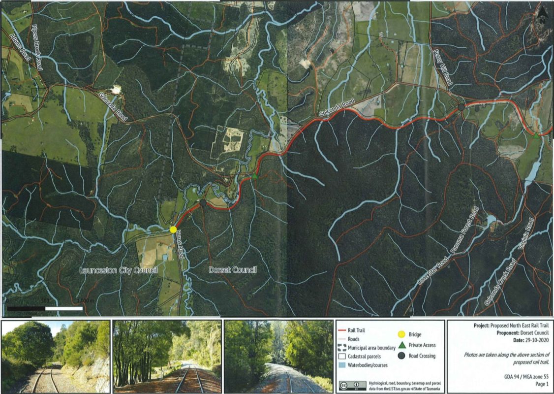
Dorset Council has advertised a development application to create the North East Rail Trail on the section between Scottsdale and Wyena, with all public comment due by 25 January.
The development application covers about 26 km of the proposed 40 km of rail trail extension. The remaining 14 km will be the subject of a development application to Launceston Council for the Wyena to Lilydale Falls section.
The application includes a map of the corridor, photos of the existing state of the corridor in different sections and plans to paint ten car parking bays at the Scottsdale trailhead where the old station building is.
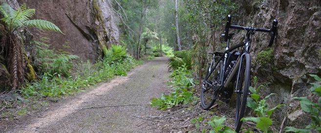
The path will average 2.5 metres in width, which is the minimum for a comfortable shared path. The length of the trail and slow pace of most users will mean the width should be about right, with some narrower points through cuttings and over embankments.
The main purpose of the application is get approval to pull up existing rail line and sleepers and crush the rock on site to a finer gravel suitable for riding on.
Dorset Council has engaged an independent planner to assess the application before it goes to the full council for approval.
A local resident group opposed to the rail trail said in the past it would mount a legal challenge against the trail. The most likely time to do this would be during this development application process. Development applications may be appealed to the Resource Management & Planning Appeal Tribunal, provided legal grounds are met.
The Examiner reported this month that Dorset and Launceston councils have started discussions about the section of rail trail between Wyena and Lilydale Falls. Launceston Council has in the past expressed a desire to have both rail and path alongside each other but it’s not known yet what the development application will request.
In the existing application Dorset Council states its intention to have a trailhead at Lilydale Falls as well as Scottsdale. The Lilydale Falls trailhead would likely get more visitation because of its proximity to Launceston and being at the start/end of the trail.
If the council receives development approval for the 40 km of trail extension it will mean the trail will be close to 70 km which is a great distance for a weekend ride along one section or the whole path, with an overnight stay along the trail.
It could also provide more business for bike shuttle services and accommodation providers to pick up and drop off riders at the Billycock Hill end of the trail, especially now there is an easy-to-ride track between Derby and Branxholm.


